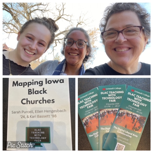
At the beginning of December, I was invited to return to my alma mater, Grinnell College, for the Digital Liberal Arts Collaborative (DLAC) Teaching with Technology Fair. The program connects students with opportunities to apply technology within the Humanities discipline. Last fall, our board member and affiliated researcher, Sarah Purcell, was able to hire a research assistant to work on mapping Iowa’s Black Churches. She recruited Ellen Hengesbach, a fourth year Political Science major from the Chicago area. Ellen is also pursuing an interdisciplinary concentration (sort of like a minor) in American Studies. Ellen is a Vivero Humanities fellow, a program offering paid opportunities to learn, develop, and apply technology to interdisciplinary projects. Being a part of the Grinnell College community definitely has its perks!

Over the course of first semester, Ellen and Sarah created a Google Map of Iowa’s Black Churches, even color coding those that already have some type of historic marker! Ellen noticed right away that nearly all Black churches, especially in Des Moines, Iowa, are right off the interstate. In the 21st Century, most of us take for granted the sites of freeways and hospital complexes. Both give the impression of always having been there. The reality is that both are topographic evidence of Black communities being bifurcated in the name of urban renewal and “progress.”
As with any tech project, there have been some ups and downs, starts and stops, and even some big changes to Google Maps, the original tool selected. I look forward to working with Ellen and Sarah next semester – our imaginations are running wild thinking about potential applications for maps!
